
Decisions
56 places to slow traffic: Council backs District 8 safety plan
Collier and Blackland roads are among the strongest-supported traffic-calming candidates. The vote accepts a plan, not a construction schedule.
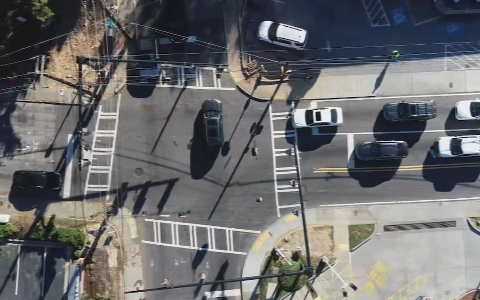
Atlanta City Council voted 15–0 Oct. 19 to accept a District 8 traffic-safety plan identifying 56 candidate traffic-calming locations. Its central choice: improve neighborhood safety rather than add road capacity for more through traffic.[1][2]
Councilmember Mary Norwood’s resolution 26-R-4187 adopts the Buckhead Traffic and Safety Study, a November 2025 report covering Council District 8. The October vote accepts that existing study; it is not the report’s completion date.[1][2][3][4]
The safety stakes are especially sharp for people outside cars. The study’s analysis of 2019–2023 crashes found that pedestrian and bicycle crashes represented roughly 2% of all crashes in the study area but 28% of crashes involving fatalities or serious injuries.[2]
Nine traffic-calming entries received the study’s highest community-support rating. On Collier Road between Howell Mill Road and Peachtree Street, the concept includes sidewalks, bus stops, street narrowing and a multiuse trail. On Blackland Road between Northside Drive and Roswell Road, it suggests narrowing and other physical changes to slow vehicles—with a stated preference against rubber cushions.[2]
Those ratings come from task-force feedback: members scored traffic-calming locations from 1 to 5, and the study averaged the responses. They are not settled designs. The report expressly calls for more neighborhood engagement before choosing the specific treatments.[2]
The plan reaches beyond slowing cars. It identifies 26 new or improved sidewalk projects totaling 18 miles with high or very high community support. But its road-capacity approach is deliberately limited: the study excludes added capacity on city-controlled streets except to accommodate local turning movements, warning that more capacity would likely attract more regional traffic.[2]
Speed-limit recommendations require another distinction. The report flags stretches of Deering Road, Peachtree Battle Avenue, Blackland Road, West Paces Ferry Road and Paces Ferry Road for review—not as newly approved reductions. It separately catalogs speed-limit revisions approved in 2024.[2]
Acceptance is not a construction notice. The resolution adopts the plan but does not itself appropriate construction money, and the reviewed records do not establish which recommendations will be funded or when work would begin. Some projects also fall under the Georgia Department of Transportation rather than Atlanta; the study says coordination among agencies is essential.[2][3][4]
Sources
4 official sources cited in this report. The bracketed numbers in the text link here.